
IP68 waterproof enclosure
A sealed housing designed for rain, spray and demanding outdoor marine installations. Confirm installation depth, connectors and mounting conditions.
01MARINE GPS TRACKING / SATELLITE / SOLAR
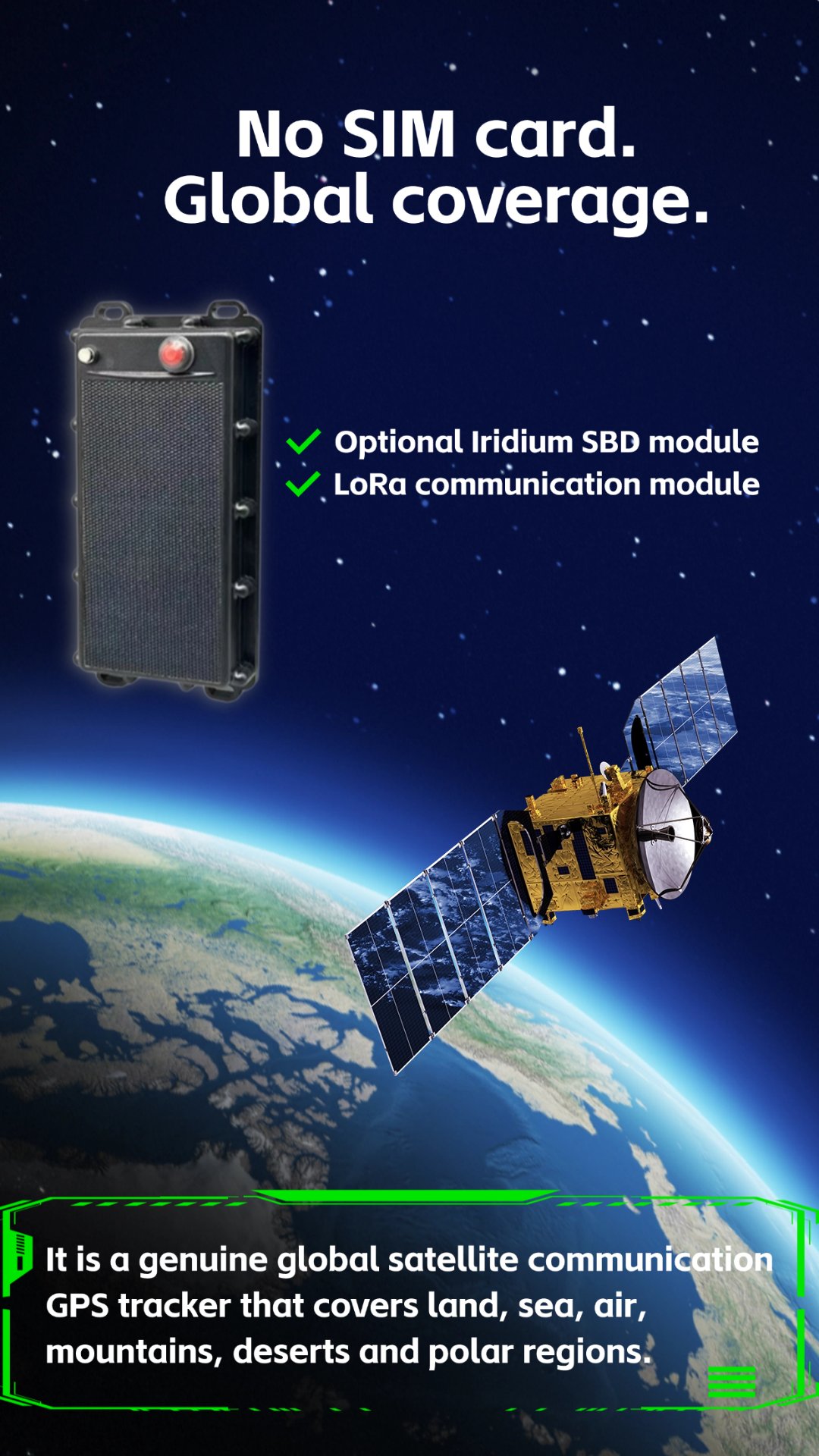
A rugged vessel GPS tracker for fishing boats, workboats and remote marine assets. Combine satellite communication with configurable 4G, 2G or LoRaWAN links, a 20,000mAh battery, 5V solar charging and a physical SOS alert button.

01 / CORE FEATURES
This marine GPS tracking platform combines a sealed outdoor enclosure, hybrid communications and solar-supported power for vessels that operate across ports, coastal waters and remote fishing areas.
A sealed housing designed for rain, spray and demanding outdoor marine installations. Confirm installation depth, connectors and mounting conditions.
01Optional satellite reporting supports projects that require communication beyond terrestrial cellular coverage.
02Configure regional cellular bands and fallback behavior for port, coastal and inland-waterway coverage.
03Use private or public LoRaWAN infrastructure for local vessel, harbor or aquaculture deployments where gateway coverage exists.
04Large internal battery capacity supports extended operation; actual runtime depends on reporting, network, temperature and solar input.
05Solar-assisted charging helps extend deployment time when the tracker and panel receive suitable sunlight.
06A physical SOS control can initiate a supported emergency event through the configured platform and communication channel.
07Report vessel position and review supported route history for fleet coordination, recovery and operational records.
08Satellite, cellular and LoRaWAN options can be planned around coverage, power use, cost and reporting urgency.
0902 / HYBRID CONNECTIVITY
A fishing boat may move from harbor Wi-Fi or LoRaWAN coverage to cellular service and then into waters where only satellite communication is practical. The hardware and firmware design can prioritize links according to coverage, power budget and message urgency.
03 / REFERENCE SPECIFICATIONS
These values are based on the requested configuration and supplied product material. Final electrical, environmental and network specifications must be confirmed in the purchase specification.
04 / PRODUCT & ENGINEERING
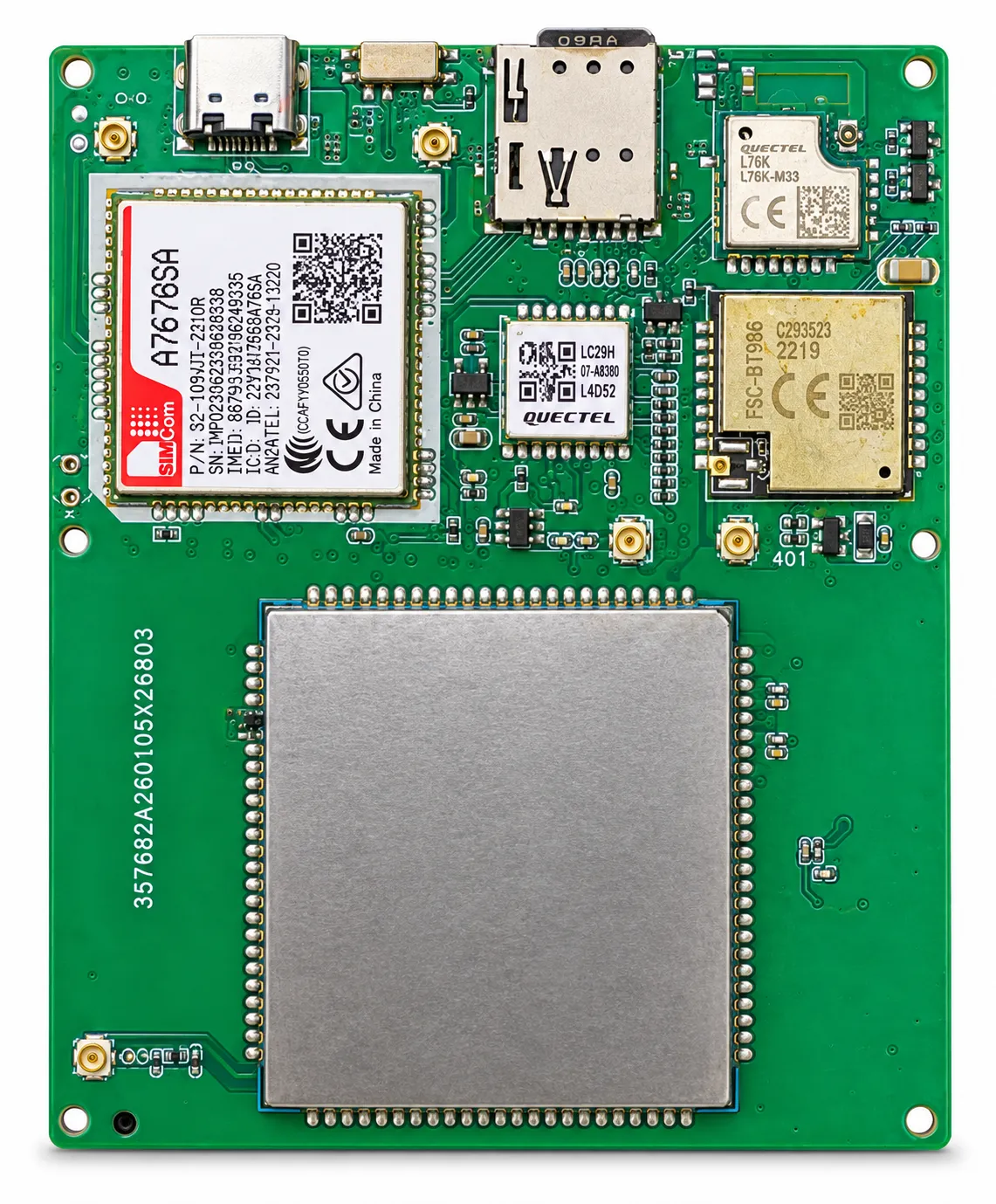
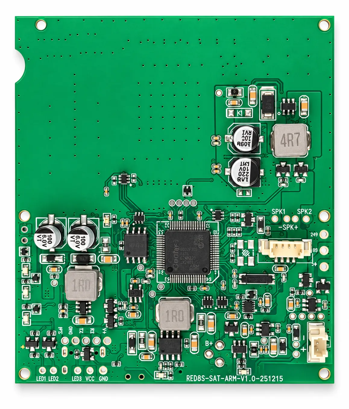
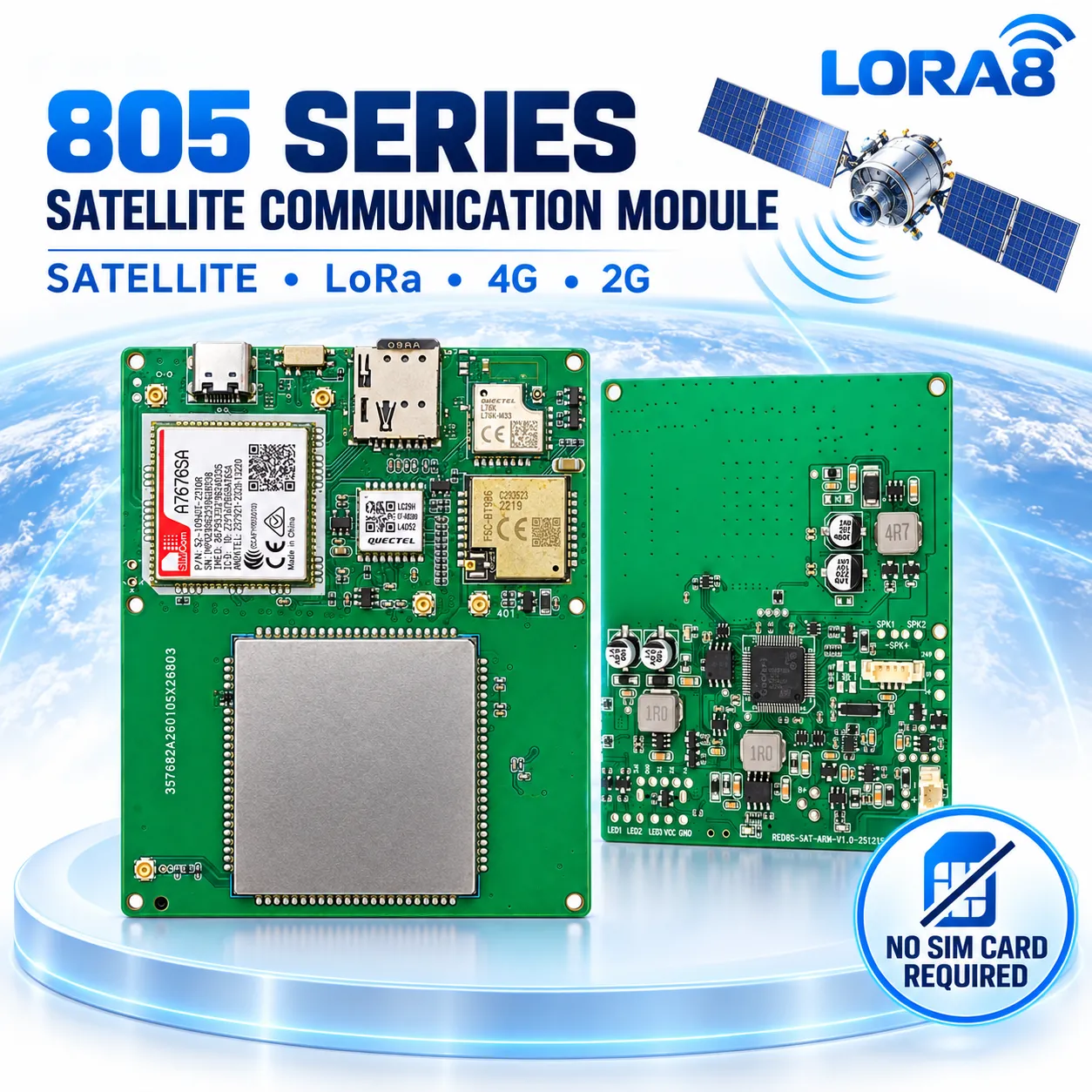
The gallery separates the finished tracker and vessel application from the internal communication module and PCB design references.
↗↗ ↗
 ↗
 ↗
05 / MARINE APPLICATIONS
Follow fishing-vessel location, voyage history and supported alerts across coastal and remote operations.
Discuss deployment ↗Give fleet managers a shared view of workboats, service vessels and distributed marine assets.
Discuss deployment ↗Use the physical SOS button and configured communication path for supported emergency workflows.
Discuss deployment ↗Combine LoRaWAN gateways, solar power and GPS tracking for local fisheries and harbor monitoring.
Discuss deployment ↗06 / DEPLOYMENT PLANNING
07 / OEM MARINE GPS TRACKER MANUFACTURER
Shenzhen Jinshengchang Technology Co., Ltd. supports distributors, marine equipment brands and system integrators with configurable vessel GPS tracking products. Projects can cover enclosure design, satellite and cellular module selection, LoRaWAN integration, solar power design, firmware, SOS logic, cloud API and branded packaging.
Define vessel use, enclosure, antenna, battery, solar and installation requirements.
Plan GNSS, satellite, 4G/2G, LoRaWAN, power management and interface electronics.
Configure reporting intervals, network switching, SOS events, geofences and API data.
Prototype review, functional testing, environmental requirements and B2B order planning.
A satellite communication configuration can support reporting where compatible satellite service is available. Satellite module, service plan, antenna placement and reporting interval must be confirmed for the project.
The product can be configured for 4G, 2G and LoRaWAN communication requirements. Available bands, network fallback and gateway coverage depend on the selected hardware and destination market.
The requested enclosure rating is IP68. Final installation still requires correct mounting, sealed connectors, suitable cable routing and verification for the vessel environment. IP68 does not mean unlimited depth or every chemical exposure.
The configuration uses a 5V solar charging input with a 20,000mAh battery. Runtime depends on sunlight, panel size, reporting frequency, temperature, network availability and SOS usage.
A supported SOS event can be sent through the configured communication channel and platform. Recipient workflow, message content and delivery behavior must be defined during integration.
OEM and ODM projects can cover enclosure, PCB, communication modules, firmware, reporting logic, server API, solar system and branding after requirements review.
08 / PROJECT ENQUIRY
Send the vessel type, operating region, communication priorities, reporting interval, solar conditions, platform requirements and expected quantity.
JINSHENGCHANG
深圳市金盛昌科技有限公司
jietainana@gmail.com+86 13480881974
+86 17722420256
Room 305, Ailian Chuangzhao Plaza, Longgang District, Shenzhen, Guangdong, China